|
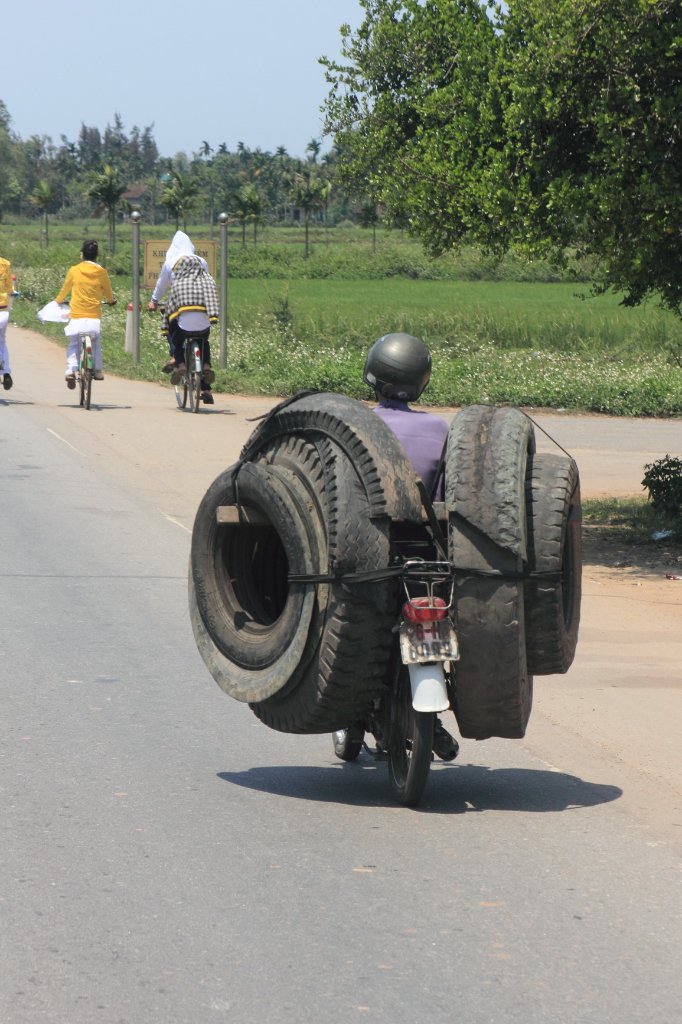 |
| This is the way they use mopeds for transport | |
| Latitude: N 14°57'49,17" | Longitude: E 108°53'5,29" | Altitude: 9 metres | Location: Quang Hien | State/Province: Quang Nam | Country: Vietnam | Copyright: Ron Harkink | See map | |
| Total images: 53 | Help | |
|
|
|
| This is the way they use mopeds for transport | |
| Latitude: N 14°57'49,17" | Longitude: E 108°53'5,29" | Altitude: 9 metres | Location: Quang Hien | State/Province: Quang Nam | Country: Vietnam | Copyright: Ron Harkink | See map | |
| Total images: 53 | Help | |